[activity] 2011 UND Scholarly Forum

Presented a poster during the 2011 UND Scholarly Forum, hosted by the Graduate School at UND.

BURTON-KELLY, M.E., J.H. HARTMAN, and A.E. BOGAN. 2011. Determining temporal and geographic limits of fossil freshwater mussels of the family Hyriidae. The Graduate School Scholarly Forum, March 8 – 9, 2011, University of North Dakota, Grand Forks, North Dakota, USA, p. 73. Abstract and poster PDF 9.5MB

There were only three of us from Geology and Geological Engineering, so next year we’ll have to represent better.

Snapshot: Crossing at DeMers Ave/S. Columbia Rd Interchange

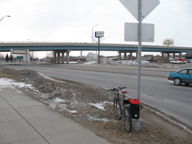
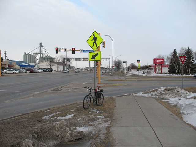
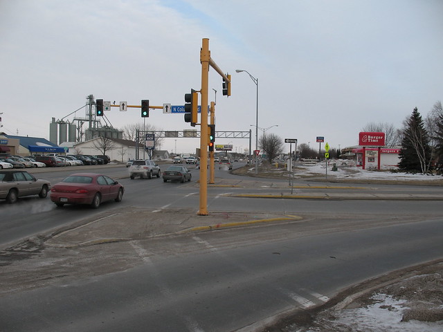
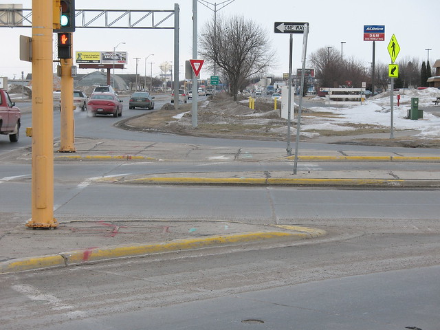
Trying to keep the words to a minimum, but here is an intersection in Grand Forks that I find particularly worrisome, especially for people to whom cycling/commuting is new. This crossing is the primary avenue between the University of North Dakota (to the north) and points to the southeast. The protected sidewalk on the S. Columbia Rd. overpass is used by riders because the traffic on the often exceeds 35 mph and people are not used to cyclists. See map at bottom of post.

Most problematic: drivers merging onto the northbound onramp and off the southbound offramp. They do not expect to stop because all they have is a yield sign. Drivers merging on are especially dangerous because they have little need to yield most of the time, and see little reason in signaling.

Suggested solution: Unsure. Would be nice to straighten out the crossing (will have to take a photo now that it’s snowed again) to make it easier for people on the path, but something needs to be done to prevent merging drivers from running into riders and drivers stopped at the red light from stopping in front of the pedestrian cutout ramps (on the crosswalk).

IMG_9278

IMG_9279

IMG_9280

IMG_9281


View Larger Map

Total time on this post: 46 minutes.

Need a geologic time scale? Use TimeScale Creator!

I didn’t know this existed until today, so I’ll give it a little promotion. I was in the midst of building my own in Illustrator by tracing the official 2009 timescale from stratigraphy.org (the PDF has font issues on my computer, apparently).
TimeScale Creator
Overview

We’ll see how it works for my 2011 UND Scholarly Forum poster. Wish me luck.

EDIT: Had some problems saving the image as a PDF in Mac OS 10.6.6 (Snow Leopard), but saving as SVG works fine. If a save seems to fail, you need to restart the program and try again. Using version 4.2.5.

Working definition of ‘sidewalk’ versus ‘path’

I need to determine width, material, and crossing restrictions. This will be applicable first to Grand Forks, then maybe with feedback to other places in the future.

Useful for:
– Asking for appropriate facilities from city government
– Clarity of communication
– OpenStreetMap (may be best to get a list of the possible names for these terms, or ask in their wiki as well)