Herald for “bike lanes and developing mass transit”?

Tom Dennis’ editorial in the Grand Forks Herald today is about electric cars, but he slipped in a little something else:

Money spent on one thing can’t be spent on something else; and in the case of electric-car subsidies, all kinds of other choices could have been made with that money, including spending it on environmentally friendly projects such as building bike lanes and developing mass transit.

I’m not out to paint Dennis and the Herald as having been against cycling infrastructure and mass transit, but I was surprised to see these statements in a town like Grand Forks, where people have had to fight hard to get concessions for alternative transportation.  Thankfully, the Herald goes against the popular notion sometimes.

(Although I’m generally in favor of electric vehicles (where they make sense), I can see the point.  The biggest name in electrics isn’t Chevrolet and the Volt, it’s Tesla Motors and whatever Elon Musk wants to do with it.)

Encouraging cycling for transportation and improving transit in Grand Forks/East Grand Forks would take a load (literally and figuratively) off our existing infrastructure by lowering the number of vehicles that pass over a given stretch of road per day.  It would reduce congestion as well–fewer drivers means fewer cars to be stuck behind.  Cycling can be part of a healthy lifestyle, at the very least would help people get 30 minutes a day of exercise.  Transit improvements help those of us with the lowest income–to get to school, to get to work, and maybe even to sell one of the two (or more) cars your family already owns.

It’s unclear whether the powers that be would take back electric car subsidies and roll that money into more traditional alternative transportation, but you can’t start if you don’t have the idea.

Online Schlumberger Petrel Community

Is there one?

I know the official Schlumberger Support portal exists (with a forum), and I understand that when you buy a license, you get access to that resource included (that’s how I have access).  It shocks me, however, that there isn’t a thriving community of Petrel enthusiasts (or even geological/geostatistical modeling enthusiasts) out here on the Internet.  What I’m interested in is more than a PDF of a workflow or a presentation that discusses theory–I want to know how people have used modeling software to solve real problems, because not all problems can be solved in the same way.

For example, check out the Laser Scanning Forum, which is a great resource if you’re into that, and which includes discussion of multiple software packages and how to deal with different data.  A quick search brought up the forum at Exploration and Production Geology, which could use a little more activity to be useful.  Every once in a while I’ll find a blog post that addresses some questions relating to what I am trying to do.  Of course, there is always my employer’s internal collection of workflows…most of which live in the heads of our experienced modelers.  (For the record, I am not an experienced modeler and I’m facing a steep learning curve.)

I understand that software this expensive is going to be used primarily for groups that are working on custom, confidential projects and are more likely to have received training straight from Schlumberger…but as someone who outside of work would much rather use open-source software and open-access datasets, the lack of “free” information for this caliber of software is certainly jarring.

QOTD: Smallest Model Possible in gslib?

Q:  How small can a 3D geological model be?  Does gslib even recognize units, or is the coordinate system external to the software?

A:  It does not appear that any coordinate systems are built into gslib, which means units are held externally.  “100” could mean 100 km or 100 microns as far as gslib is concerned.  http://www.gslib.com/gslib_help/format.html

(QOTD: question of the day)

Bonus: Grand Forks City Council on “Bicycle Craze”

Council Member Sande stated not aware when biking became rage in Grand Forks, that he keeps hearing about bicycling from a variety of people with variety of points of view, none seem cohesive and wondering what it would take to get us on the same page about the bicycle craze. The MPO, the engineering department and Trail Users all seem to have their own agendas and process, because heard tonight that we connected the loop, that we created the dead-end ourselves by approving the 42nd Street bikepath and then the 24th bikepath that went no-where in the first place, so if going to connect the loops, why did we make a non-loop in the first place,; great if could review our current ordinances, apparently there are some regulations where not supposed to ride bikes on sidewalks, an unenforceable ordinance – should look at that and should have a sub-committee, a task force, with regard to bicyclists and come together and get a good plan to see if could get on the same page.

From the April 7th minutes.

MnDOT Bicycle System Input Session

MnDOT StatewideBicycle System Input Session

Open House Tonight

The Minnesota Department of Transportation (MnDOT) is developing a Statewide Bicycle System Plan to identify a statewide system of bicycle routes, improve existing facilities, and refine its bicycle planning process.

Public Meeting
6PM – 7PM
Thursday, May 29
EGF City Hall, 600 DeMers Avenue

Online at: www.mndot.gov/bike

Red River of the North at Grand Forks

Correlating stage and discharge with photos.  A work in progress.

Data are from the gage at Red River of the North on Sorlie Bridge.  Photos are in order of stage height, increasing.

Stage Red River/Red Lake River Confluence Downtown/Mt. Haga Riverside Dam
16 ft  

IMG_0435

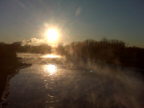
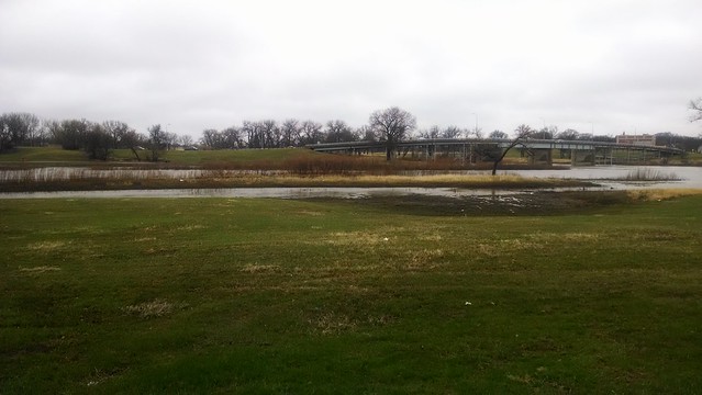
Gage height ~16.2 ft, no discharge available.  2011-12-10

FilmRoll5 021

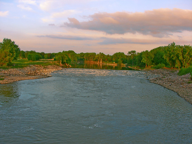
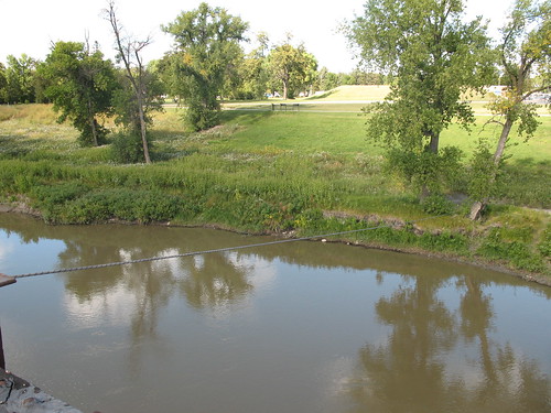
Gage height ~16.3, discharge ~2000 cfs.  2009-09-25

IMG00268

Gage height ~16.5 ft, no discharge available.  2011-12-05.

River Dam-2 in GF, ND

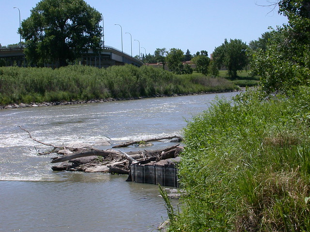
Gage height ~16.9 ft, discharge ~3100 cfs.  2008-06-04.

17 ft

Red Lake River Dam 3/13

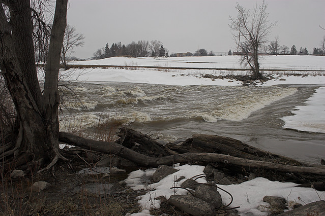
Gage height ~17 ft, no discharge available.  2010-03-13.

The grand forks

Gage height ~17 ft, discharge ~3300 cfs.  2012-06-28.

Zip

Gage height ~17.4 ft, discharge 3700 cfs.  2010-09-04.

 
18 ft      
19 ft      
20 ft      
21 ft

http://flic.kr/p/nr9vuz

Stage ~21.8 ft, discharge ~10,100 cfs.  2014-05-23.

   
22 ft      
23 ft      
24 ft      
25 ft      
26 ft

2014-05-09 12.32.37

Gage height ~26.0 ft, discharge 17,800 cfs.

   
26.5 ft  

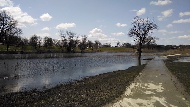
East Grand Forks bike path under Sorlie bridge is underwater.

 
27 ft

2014-05-08 14.02.32

Gage height ~27.25 ft, discharge 19,000 cfs.

   
28 ft      
29 ft      
30 ft      
31 ft      
32 ft  

Old Rail Bridge Pivot

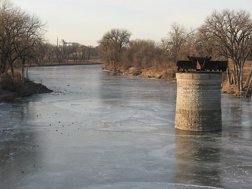
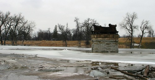
Gage height ~32 ft, no discharge available.  2009-03-23.

 
33 ft      
34 ft  

“East Grand Forks…4th St underpass at Gateway Drive (HWY 2) closes” (NWS).


Quick Thoughts

  1. The intersection of the north-end bike path (north of Gateway) with 1) North Washington Street and 2) Mill Road are especially bad.
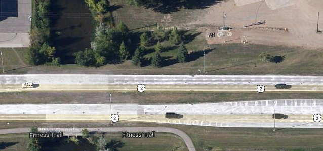
  2. There is no official way to cross the English Coulee on the north side of Gateway, but there is a desire line, which can even be seen in the satellite photo.
  3. Crossing 42nd Street is hard, too.
  4. It would be sweet if there were a pedestrian connection across 42nd St from 11th Ave S to the Alerus Center.