Month: May 2014
MnDOT Bicycle System Input Session
MnDOT StatewideBicycle System Input Session
Open House Tonight
The Minnesota Department of Transportation (MnDOT) is developing a Statewide Bicycle System Plan to identify a statewide system of bicycle routes, improve existing facilities, and refine its bicycle planning process.
Public Meeting
6PM – 7PM
Thursday, May 29
EGF City Hall, 600 DeMers Avenue
Online at: www.mndot.gov/bike
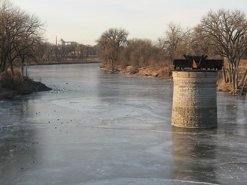
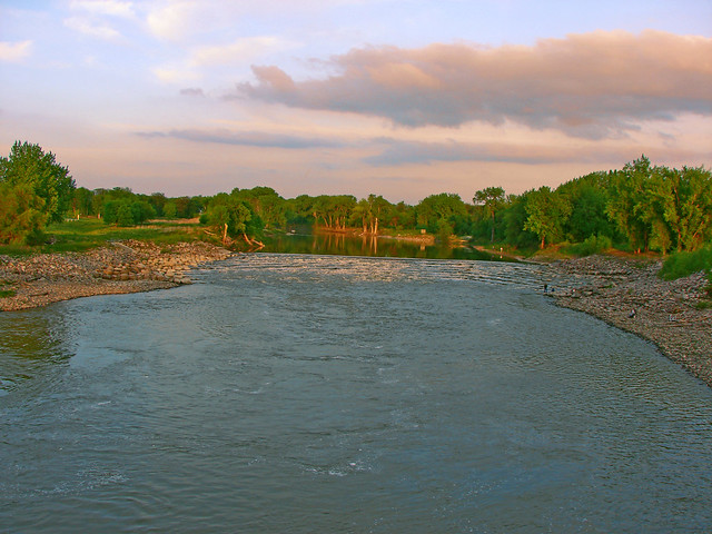
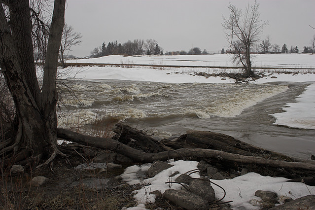
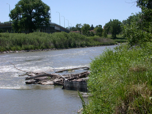
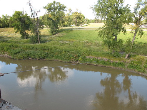
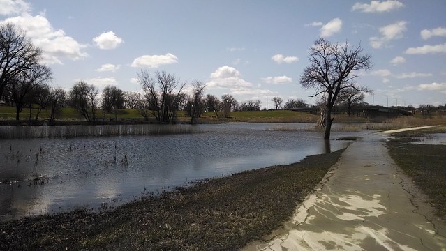
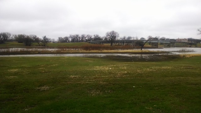
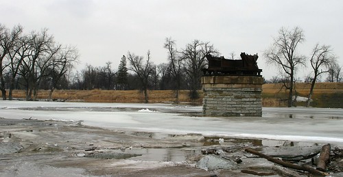
Red River of the North at Grand Forks
Correlating stage and discharge with photos. A work in progress.
Data are from the gage at Red River of the North on Sorlie Bridge. Photos are in order of stage height, increasing.
| Stage | Red River/Red Lake River Confluence | Downtown/Mt. Haga | Riverside Dam |
|---|---|---|---|
| 16 ft |
Gage height ~16.2 ft, no discharge available. 2011-12-10 |
Gage height ~16.3, discharge ~2000 cfs. 2009-09-25
Gage height ~16.5 ft, no discharge available. 2011-12-05.
Gage height ~16.9 ft, discharge ~3100 cfs. 2008-06-04. |
|
| 17 ft |
Gage height ~17 ft, no discharge available. 2010-03-13.
Gage height ~17 ft, discharge ~3300 cfs. 2012-06-28. |
Gage height ~17.4 ft, discharge 3700 cfs. 2010-09-04. |
|
| 18 ft | |||
| 19 ft | |||
| 20 ft | |||
| 21 ft |
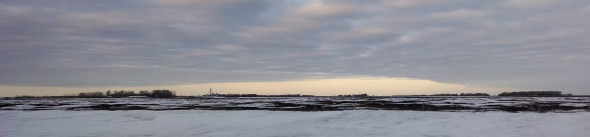
Stage ~21.8 ft, discharge ~10,100 cfs. 2014-05-23. |
||
| 22 ft | |||
| 23 ft | |||
| 24 ft | |||
| 25 ft | |||
| 26 ft |
Gage height ~26.0 ft, discharge 17,800 cfs. |
||
| 26.5 ft |
East Grand Forks bike path under Sorlie bridge is underwater. |
||
| 27 ft |
Gage height ~27.25 ft, discharge 19,000 cfs. |
||
| 28 ft | |||
| 29 ft | |||
| 30 ft | |||
| 31 ft | |||
| 32 ft |
Gage height ~32 ft, no discharge available. 2009-03-23. |
||
| 33 ft | |||
| 34 ft |
“East Grand Forks…4th St underpass at Gateway Drive (HWY 2) closes” (NWS). |