More Parking “Fun” at UND

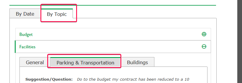
If you want to see some of the suggestions by staff about parking on campus, look no further! Head to the Staff Senate suggestion box and click “By Topic,” “Facilities,” and then “Parking & Transportation.”

Screenshot of a web page showing where you should click.

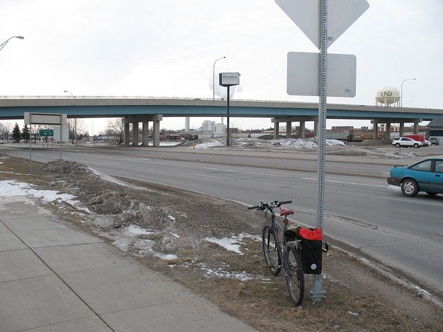
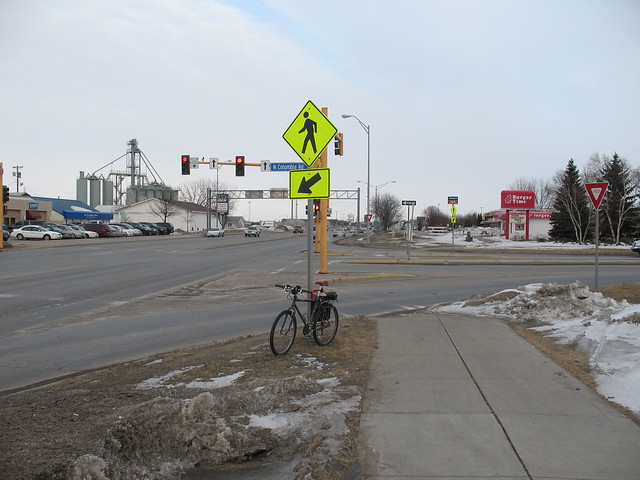
I’d like to suggest some more about promoting walking, cycling, and transit, but I doubt these ideas will be taken seriously unless I show up to the next open forum.

Edited to add an email with more information about the upcoming parking process:

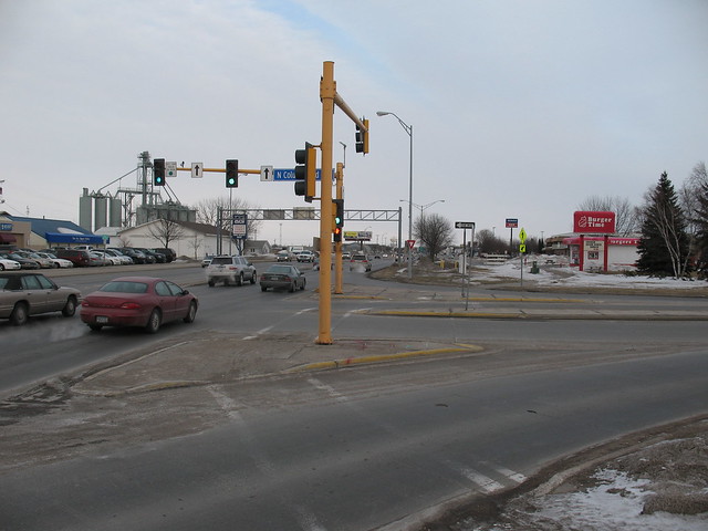
Open forums will be held March 25 and April 15 to seek input from students, faculty and staff regarding UND Parking and Transportation planning and possible changes. All are welcome.

  • Monday, March 25, 9:30-10:30 a.m., Memorial Union Lecture Bowl
  • Monday, April 15, 3-4 p.m., Memorial Union Lecture Bowl

Following is some background information about the proposed changes. Please note that final decisions on parking and transportation have not yet been made. More information will be provided when it is available.

Why are parking and transportation changes being considered?

UND Parking must become self-supporting within the next five years, and will no longer receive state funds beginning in 2024. All costs and expenses related to parking must be covered through permit sales and parking fees.

Currently, parking is partially subsidized from other sources, and that support will no longer be available. Parking permits and fees must provide enough revenue to operate, maintain, and develop parking lots and spaces. One goal of the new model is dedicate funds for parking lot maintenance and construction.

How is the parking policy being developed?

Members of the Parking Committee have been meeting regularly to develop a new plan for parking. The forums will gather input from students, faculty and staff. Parking recommendations will be finalized in May and sent to Vice President for Finance & Operations Jed Shivers for review. After review, the new parking structure will begin operating Aug. 1.

What changes are being considered?

One of the unique challenges faced by Parking Services is that nearly everyone uses parking. And as much as we would like to, not everyone can park at the front door.

Parking revolves around three factors: cost, convenience and supply. Everyone would like parking to be convenient, inexpensive and sufficient, but that’s not possible. If parking is inexpensive and convenient, it will not be sufficient. If there is sufficient and inexpensive parking, it will not be convenient. And if there is sufficient and convenient parking, it will be expensive.

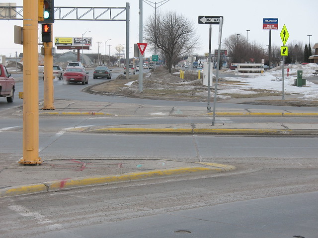
Parking fees will likely be raised to cover parking costs. Instead of zones, parking may be “tiered,” or have different costs according to location. And parking spaces may be shared. For example, 100 people can generally share 60 to 80 spaces, since not everyone is on campus at the same time. Parking fees may differ by location and use.

Shuttle bus services may offer additional routes to transport people from more distant lots. Those lots will have lower parking rates. Shuttle bus services may also be adjusted.

When will the changes take place?

No final decision has been made. If the recommendations are approved, they will go into effect on Aug. 1.

Red River of the North at Grand Forks

Correlating stage and discharge with photos.  A work in progress.

Data are from the gage at Red River of the North on Sorlie Bridge.  Photos are in order of stage height, increasing.

Stage Red River/Red Lake River Confluence Downtown/Mt. Haga Riverside Dam
16 ft  

IMG_0435

Gage height ~16.2 ft, no discharge available.  2011-12-10

FilmRoll5 021

Gage height ~16.3, discharge ~2000 cfs.  2009-09-25

IMG00268

Gage height ~16.5 ft, no discharge available.  2011-12-05.

River Dam-2 in GF, ND

Gage height ~16.9 ft, discharge ~3100 cfs.  2008-06-04.

17 ft

Red Lake River Dam 3/13

Gage height ~17 ft, no discharge available.  2010-03-13.

The grand forks

Gage height ~17 ft, discharge ~3300 cfs.  2012-06-28.

Zip

Gage height ~17.4 ft, discharge 3700 cfs.  2010-09-04.

 
18 ft      
19 ft      
20 ft      
21 ft

http://flic.kr/p/nr9vuz

Stage ~21.8 ft, discharge ~10,100 cfs.  2014-05-23.

   
22 ft      
23 ft      
24 ft      
25 ft      
26 ft

2014-05-09 12.32.37

Gage height ~26.0 ft, discharge 17,800 cfs.

   
26.5 ft  

East Grand Forks bike path under Sorlie bridge is underwater.

 
27 ft

2014-05-08 14.02.32

Gage height ~27.25 ft, discharge 19,000 cfs.

   
28 ft      
29 ft      
30 ft      
31 ft      
32 ft  

Old Rail Bridge Pivot

Gage height ~32 ft, no discharge available.  2009-03-23.

 
33 ft      
34 ft  

“East Grand Forks…4th St underpass at Gateway Drive (HWY 2) closes” (NWS).


ND is 49th out of 50 states for “bicycle friendliness”

ND: at the bottom of the 2012 League of American Bicyclists state rankings.

The League of American Bicyclists have come out with their 2012 state rankings, and North Dakota managed to beat out Arkansas for the 49th most-bicycle-friendly state.  As one commenter in on the Facebook group BIKE FARGO 365 put it, “not surprising!”  The state scorecard can be found here or linked at the bottom of the state ranking page..

Why exactly is this not surprising?  The League is pretty clear where we’re lacking, and pretty clear on what we need to do to improve.  North Dakota has failed to achieve any of the “Top 10 Signs of Success” regarding cycling and clearly needs a statewide Complete Streets policy.  But let’s step back a bit: sure, North Dakota as a whole isn’t going to compete with our neighbor Minnesota (#2, home to Minneapolis, just picked for best bikeability by WalkScore) or with Oregon (#1, home to Portland, this year’s best bike-friendly city according to Bicycling Magazine), but I don’t think we need to try for that right now.  What we can focus on is doing something local, and doing something now.

Each of the “Top 10 Signs of Success” can be achieved here in Grand Forks just as easily (or even more easily) than they can at the state level.  The same goes for Fargo, and for Bismarck and Minot.  I’m not trying to discount the other cyclists in the state, but lobbying for “bike friendliness” (as part of a greater Complete Streets initiative) might have a greater effect in the places where cycling is most viable as a transportation option: cities and large towns.  Grand Forks can be more nimble than the state in enacting policies that support all forms of transportation, and what we succeed at can be used as a model for the rest of the state.

Which of the “Top 10 Signs of Success” do you think are the most achievable in Grand Forks?

“Top 10 Signs of Success” from North Dakota’s 2012 League of American Bicyclists scorecard.

Phone Photos

0618112034a Took only a few photos this weekend with my phone, so you can probably assess the quality right there. If you think about it though, phone photography is really just another way of expression, and I don’t think it always means “I was too lazy to pull out my real camera” or even “I can’t afford a real camera.”

0618112034a Took only a few photos this weekend with my phone, so you can probably assess the quality right there. If you think about it though, phone photography is really just another way of expression, and I don’t think it always means “I was too lazy to pull out my real camera” or even “I can’t afford a real camera.” I think the point behind such “low quality” photography is that the situation was meaningful enough for me to try to capture what was going on. (“Low quality” is another concept that could be discussed forever: when the first digital cameras came out I was taking photos that were 640×480, but it allowed me to shoot as many as I wanted for free. What will we be calling “low quality” in the future?) I thought they were cool, so I’d like to share them. In other news, I’m considering moving [I have moved, 2014-02-04] my Blogspot blog (which has been up seemingly forever at http://protichnoctem.blogspot.com) to this Drupal website in order to consolidate things. I would probably leave the blog up as an artifact and a link to here, but this would also mean changing some Google Account settings around. I’d welcome any feedback on the idea. I used to host that blog on my Geocities (remember them?) account back in high school, so this isn’t such a bizarre concept. They do take care of server stuff for you though. 0618112034 0618112034b 0618112035 0618112039 0618112039a

[portfolio] END-SPAR 2011 poster

The background to the 2011 END-SPAR (Extreme North Dakota Spring Primer Adventure Race) poster was an idea Andy Magness had that he hired me to put together. I couldn’t find a good shoe image so I took a photo of my own Inov-8 show to throw on there.

Flower image: 1st Crocus by KitAy on Flickr.
ENDracing logo: ENDracing.com

All text is by Andy.

Snapshot: Crossing at DeMers Ave/S. Columbia Rd Interchange

Trying to keep the words to a minimum, but here is an intersection in Grand Forks that I find particularly worrisome, especially for people to whom cycling/commuting is new. This crossing is the primary avenue between the University of North Dakota (to the north) and points to the southeast. The protected sidewalk on the S. Columbia Rd. overpass is used by riders because the traffic on the often exceeds 35 mph and people are not used to cyclists. See map at bottom of post.

Most problematic: drivers merging onto the northbound onramp and off the southbound offramp. They do not expect to stop because all they have is a yield sign. Drivers merging on are especially dangerous because they have little need to yield most of the time, and see little reason in signaling.

Suggested solution: Unsure. Would be nice to straighten out the crossing (will have to take a photo now that it’s snowed again) to make it easier for people on the path, but something needs to be done to prevent merging drivers from running into riders and drivers stopped at the red light from stopping in front of the pedestrian cutout ramps (on the crosswalk).

IMG_9278

IMG_9279

IMG_9280

IMG_9281


View Larger Map

Total time on this post: 46 minutes.