East Grand Forks to add parking–on the Greenway

The city of East Grand Forks, MN is divided on whether to add parking. “Add parking,” you say, “why wouldn’t you want to add parking?” In this case, as reported by the Grand Forks Herald, the additional parking lot would add 32 stalls on the river side of the Boardwalk, a popular downtown collection of restaurants and bars. The problem is that the river side of the existing parking lot (as shown in the image below) is the Greenway, a park/wilderness area created as a buffer from the Red River after the devastating 1997 flood.


View Larger Map 

Map centered on proposed parking lot site.

Obviously, many business owners and city council members are excited at the prospect of additional parking because it is (at face value) expected to bring even more people to downtown EGF. (I’ve personally experienced the lack of space on a busy night.)

The mayor said he supports the plan to add parking. He said it is the best thing for the city and he would vote for it with his tiebreaking vote if the city council was deadlocked. Mayor Stauss said his support for the plan is not influenced by his brother and son owning the Boardwalk building.

Some owners, however, are seeing the long-term consequences. 

Dave Homstad, the co-owner and general manager of the Blue Moose Bar & Grill, says he spent an extra $80,000 to $100,000 to build his exterior deck to a height high enough to provide a view of the river and the Greenway, and the new parking lot would block that view for his customers. “If they extend that parking lot out there it’s going to take away my view of the river,” he said

Additional parking is available across DeMers Avenue in the Cabela’s parking lot, in other lots and streets near downtown, and across the Red River in downtown Grand Forks, ND. Why another lot, and why here?
Wanted (and some found): Geologic maps (formation contacts) of South America countries, for use in GIS

Here’s a good ol’ plea for help from the scientific community. As my questions to “the scientific community” via Academia.edu have gone unnoticed, I’m posting this out here to see if anyone else searching for the same thing has had any luck. I’m building a GIS (geographic information system) model to determine the possible biogeographic districbution of a genus through time. What I need for this, since the fossils are from South America, is a good geologic map, either of most of the continent or of the countries of Brazil, Argentina, Ecuador, and Peru. Hunting around online hasn’t shown me anything that I want to shell out a bunch of money for, site unseen, and I’m honestly trying to avoid having to scan paper maps and register them (additionally, I haven’t been able to access our worldwide collection of paper geologic maps recently). 1:500,000 or 1:100,000 would be great, but I’d even take 1:1,000,000 at this point. I need something with formational contacts so I can plot possible distributions. So that’s the challenge of the day: have any geologists in South America discovered a good source for this type of material? Would you be willing to share or trade? Drop me an email at one of the addresses on the right sidebar if you can help.

Brazil

UPDATE 2011-08-15: I found (finally) an online version of the Geological Map of Brazil at 1:1,000,000 scale. Unfortunately it is only available in a viewer, broken up into small sections. Anyone know where I can download the full dataset, or at least that data for those sections? UPDATE 2011-08-15 1431: Thanks to Sidney Goveia over at Geosaber, I tracked down the Brazil data to Geobank, so here goes nothing! If you are using a Mac, make sure you extract the contents of the ZIP files using StuffIt Expander (if you have it) rather than Archive Utility, otherwise you don’t end up with a folder.

Peru

UPDATE 2011-08-16: You can download a formation-level geological map of Peru at the 1:1,000,000 scale from INGEMMET – the Instituto Geologico Minero Y Metalurgico. There are a few steps through the online viewer (note: this is the new viewer, so the following steps may not work the same), which may appear in Spanish at first but for some reason decided to reload partway through in English. If you want, you can try to figure out how to turn on the layer under the Map–>Geodatabase menu, but really when that menu comes up you want to click the Download/Descargas folder icon, then select the Geologia layer (SHP icon next to it). It also looks like you can download the data as a KML file for Google Earth. A structural layer (Dominios Estructurales) also looks available, and I checked out the radiometric date layer (Dataciones Radiometricas) as well, which could be useful. You might need to check the projection on the geologic map once you download it. I imported it to QGIS at first and it came up as WGS 84 (probably because of the existing project), but I dug around and figured out that it works as PSAD_1956_UTM_Zone_18S. Need a map key for formation symbols? You can download scans of the paper version of this map from here, one of which has the legend. If the correct map doesn’t come up at that link, click on “Ministerio de Energia y Minas. Instituto de Geologia y Mineria” so see the others. The symbology is different. An alternative large-scale (1:100,000) but low-quality set of maps is available here but will not easily go into GIS.

Wanted: Geologic maps (formation contacts) of South America countries, ideally for use in GIS

Here’s a good ol’ plea for help from the scientific community. As my questions to “the scientific community” via Academia.edu have gone unnoticed, I’m posting this out here to see if anyone else searching for the same thing has had any luck. [Since then, I’ve discovered ResearchGate, which I generally like better for questions like this. 2014-03-05]

I’m building a GIS (geographic information system) model to determine the possible biogeographic districbution of a genus through time. What I need for this, since the fossils are from South America, is a good geologic map, either of most of the continent or of the countries of Brazil, Argentina, Ecuador, and Peru. Hunting around online hasn’t shown me anything that I want to shell out a bunch of money for, site unseen, and I’m honestly trying to avoid having to scan paper maps and register them (additionally, I haven’t been able to access our worldwide collection of paper geologic maps recently).

1:500,000 or 1:100,000 would be great, but I’d even take 1:1,000,000 at this point. I need something with formational contacts so I can plot possible distributions.

So that’s the challenge of the day: have any geologists in South America discovered a good source for this type of material? Would you be willing to share or trade?

Quick Evernote for Mac Review

I have been thinking about using Evernote or OneNote for a while now, but I wasn’t sure I wanted to dump all of my notes into a proprietary format. The idea behind trying Evernote out was that it would attempt to OCR my handwriting, and would let me link between different notebook pages I could easily photograph or scan into the program (I understand that OneNote does this as well).

I have been thinking about using Evernote or OneNote for a while now, but I wasn’t sure I wanted to dump all of my notes into a proprietary format. The idea behind trying Evernote out was that it would attempt to OCR my handwriting, and would let me link between different notebook pages I could easily photograph or scan into the program (I understand that OneNote does this as well).

Simple, right? I looked into Evernote and discovered that they would rather sync all of your data to the cloud. I’m not down with that, but I did find out that you can run a local version, so I figured I would try it. However, once I dumped a PDF file of a previous notebook in (scanned at a readable resolution), I got a message asking me to upgrade to the “premium” version of the software so I wouldn’t go over my transfer amount for the month. So goodbye Evernote, and I’m back to Tiddlywiki until I can find something better.

Evernote pros:
– Dump everything in one place (images, text, audio, video). I could see using the video if I wanted to describe something on a diagram.
– Lets you sync across devices if you’re into that. I have no other devices and I have a laptop, so I’m not interested.
– OCR of attached files without any extra steps (supposedly)
– You can export to plain HTML if you ever want to leave Evernote behind. This is a good “safety net” to add into a program so people will be interested in trying it.

Evernote cons:
– They want you to create an account with them, even if you don’t want to deal with syncing to “the cloud”
– 40 MB monthly limit for notes and attachments, even if you have no interest in syncing to “the cloud”
– When you import an existing file, makes a copy of that file in its own folder. Ideally you would be able to change this setting so that it would only create an alias or shortcut in order to save space, plus if you are linking working files, creating a copy means that the most current file is not in the Evernot folder, so that doesn’t work.

Now back to work. In the future I hope to review Klok 2, but I shouldn’t right now because I’m down to half the RAM I had before and the whole machine is dragging.

Moving Large Items with Bicycles

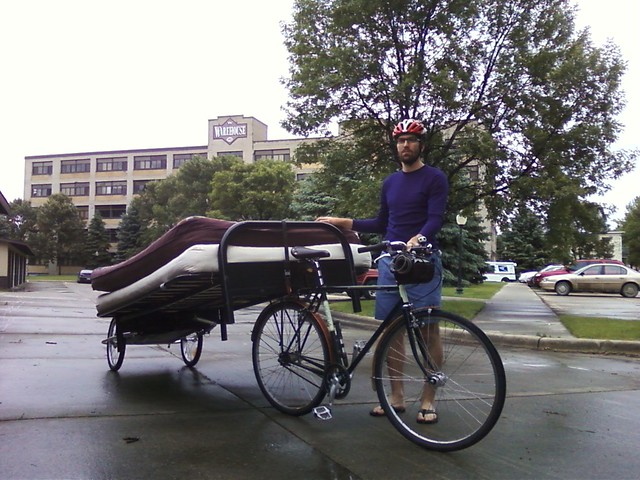
The more you ride bike instead of driving, the less you want to use your motor vehicle for things. Sometimes it’s a necessity, such as Ted needing to move a futon this past weekend: 

0617111639 

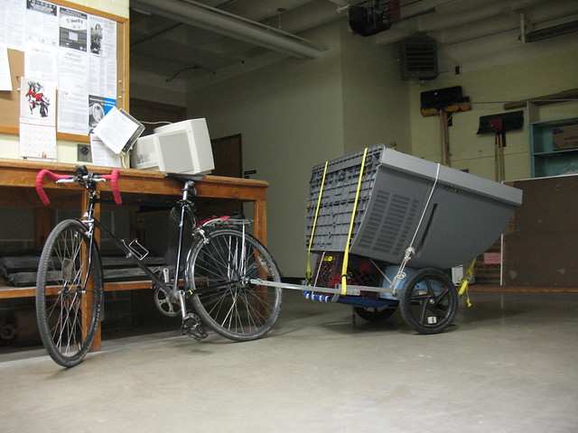
Sometime’s it’s purely a question of “is this possible?” as seen here (from earlier this spring):


 IMG_9687 

More photos are available on Flickr, click on one of the images above to get to my photostream.

Phone Photos

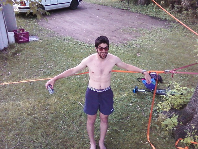
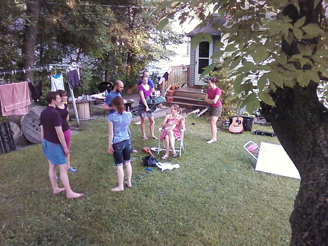
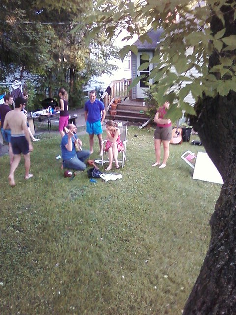
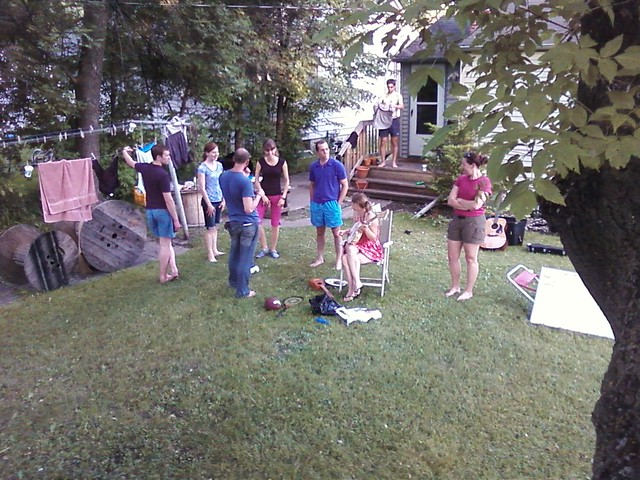
0618112034a Took only a few photos this weekend with my phone, so you can probably assess the quality right there. If you think about it though, phone photography is really just another way of expression, and I don’t think it always means “I was too lazy to pull out my real camera” or even “I can’t afford a real camera.”

0618112034a Took only a few photos this weekend with my phone, so you can probably assess the quality right there. If you think about it though, phone photography is really just another way of expression, and I don’t think it always means “I was too lazy to pull out my real camera” or even “I can’t afford a real camera.” I think the point behind such “low quality” photography is that the situation was meaningful enough for me to try to capture what was going on. (“Low quality” is another concept that could be discussed forever: when the first digital cameras came out I was taking photos that were 640×480, but it allowed me to shoot as many as I wanted for free. What will we be calling “low quality” in the future?) I thought they were cool, so I’d like to share them. In other news, I’m considering moving [I have moved, 2014-02-04] my Blogspot blog (which has been up seemingly forever at http://protichnoctem.blogspot.com) to this Drupal website in order to consolidate things. I would probably leave the blog up as an artifact and a link to here, but this would also mean changing some Google Account settings around. I’d welcome any feedback on the idea. I used to host that blog on my Geocities (remember them?) account back in high school, so this isn’t such a bizarre concept. They do take care of server stuff for you though. 0618112034 0618112034b 0618112035 0618112039 0618112039a

[activity] Sold one of my photos

Last fall after the second UND Fall Classic CX race I was contacted by Flint Communications in Fargo, ND about licensing this photo for use in an ad campaign. Long story short, the ad came out sometime this spring and I finally found it a few weeks ago at https://www.bcbsnd.com/blueinsight/campaign/.

Last fall after the second UND Fall Classic CX race I was contacted by Flint Communications in Fargo, ND about licensing this photo for use in an ad campaign. Long story short, the ad came out sometime this spring and I finally found it a few weeks ago at https://www.bcbsnd.com/blueinsight/campaign/.

Thanks to Pat White for unintentionally modeling. I don’t think this will jumpstart my photography career but it worked out pretty well.

[activity] Teaching Geology 101 Lab this summer

I will be teaching a lab section of Geology 101 (Introduction to Physical Geology) at the University of North Dakota for the first summer section (16 May to 24 June). We (the instructors) are earning pretty much the minimum possible in order to have the class with so few students, but it should be a worthwhile experience.